Discovering the 606
Chicago's 606 Trail, officially named the Bloomingdale Trail, represents one of America's most successful urban trail projects. This 2.7-mile elevated greenway transforms a former freight railway into a vibrant community space connecting four distinct neighborhoods on the city's Northwest Side.
The Trail's Origins
Named after Chicago's shared ZIP code prefix (606xx), the trail opened in 2015 after years of community advocacy and careful planning. The project converted the abandoned Bloomingdale Line, which once served industrial facilities along its route, into a multi-use recreational pathway.
The trail runs from Ashland Avenue on the east to Ridgeway Avenue on the west, passing through the neighborhoods of Bucktown, Wicker Park, Humboldt Park, and Logan Square. Each section offers its own character and community connections.
Planning Your Walk
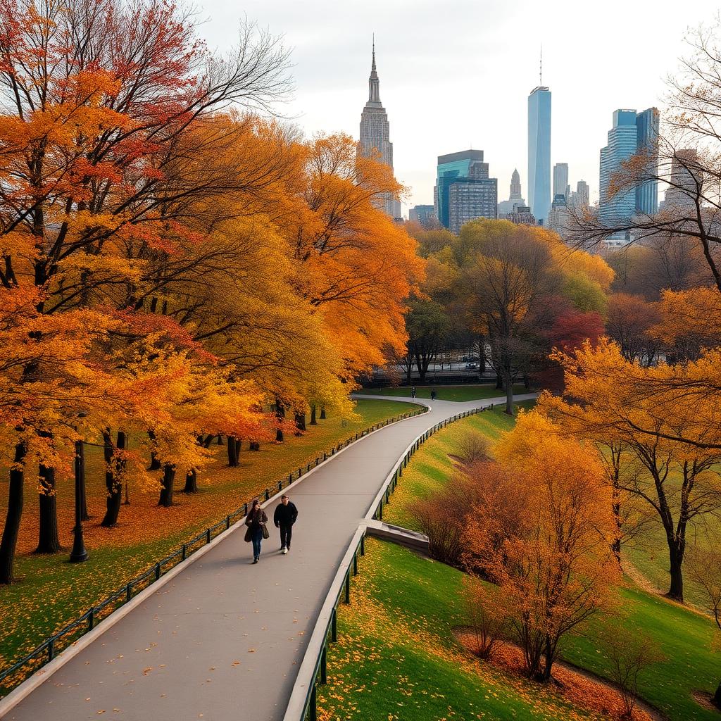
The 606 is open from 6:00 AM to 11:00 PM daily, with the best visiting conditions typically found on weekday mornings or during golden hour. The trail is particularly beautiful during spring when the native plantings bloom and fall when autumn colors paint the landscape.
Unlike the High Line in New York, the 606 allows both walking and cycling, so be prepared to share the trail. The path is divided into zones for pedestrians and cyclists, making it safe and enjoyable for everyone.
What You'll Experience
Diverse Neighborhoods
One of the 606's greatest strengths is its connection of diverse communities. As you walk from east to west, you'll notice distinct architectural styles, local businesses, and neighborhood vibes. This cultural tapestry makes the trail feel like a journey through Chicago's vibrant urban fabric.
Native Prairie Gardens
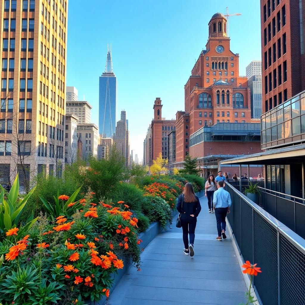
The landscape design incorporates over 200 species of native plants, creating habitat corridors for pollinators and birds. In spring and summer, these gardens explode with color, featuring prairie grasses, wildflowers, and carefully selected perennials.
Art and Architecture
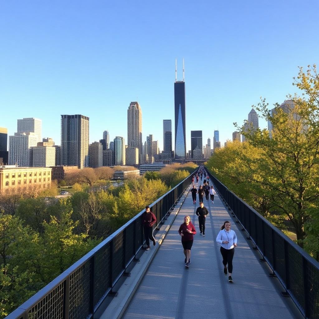
Public art installations dot the trail, with rotating exhibitions and permanent pieces that reflect the surrounding communities. The observatory points offer elevated views of Chicago's distinctive low-rise neighborhoods and, on clear days, glimpses of the downtown skyline.
Community Spaces
Several plazas along the trail host community events, farmers markets, and fitness classes. These gathering spaces embody the trail's mission of bringing neighbors together.
Neighborhood Highlights
Bucktown Section
The eastern section passes through trendy Bucktown, known for its boutiques, cafes, and young professional residents. The Walsh Park entrance offers convenient access and connection to local amenities.
Wicker Park Area
The Wicker Park section buzzes with energy, reflecting the neighborhood's artistic and nightlife reputation. Exit here for vintage shopping and some of Chicago's best independent restaurants.
Humboldt Park Connection
As you continue west, the trail connects to Humboldt Park, Chicago's Puerto Rican cultural hub. The famous steel Puerto Rican flags that arch over Division Street are visible from the trail.
Logan Square Terminus
The western end in Logan Square offers access to this increasingly popular neighborhood's coffee shops, breweries, and the historic Illinois Centennial Monument.
Practical Information
Getting There
The 606 is accessible via CTA Blue Line (Damen or Western stops) or multiple bus routes. Street parking is available but limited in the surrounding residential areas.
Facilities
Restrooms are available at several park access points along the trail. Water fountains are positioned throughout, and several cafes and restaurants near access ramps offer additional amenities.
Accessibility
The trail is fully accessible with gradual ramps at multiple access points. The surface is smooth asphalt, suitable for wheelchairs, strollers, and mobility devices.
Safety and Etiquette
The 606 is well-patrolled and generally very safe, but standard urban awareness applies. Stay on the right side of the trail, announce yourself when passing others, and keep dogs on leashes. Respect the residential neighborhoods by keeping noise levels reasonable, especially in evening hours.
Beyond the Trail
Consider extending your urban hiking by exploring the surrounding neighborhoods. Each community offers unique dining, shopping, and cultural experiences that complement your trail walk.
Conclusion
The 606 represents Chicago's commitment to creating accessible outdoor spaces that connect communities and celebrate urban nature. Whether you're a Chicago resident seeking a new weekend routine or a visitor wanting to experience the city beyond downtown, the 606 offers an unforgettable urban hiking experience that showcases the best of the Windy City.